
Access
Well-managed public access is vital to ensuring the Broads remains a spectacular place for escape, recreation and enjoyment.
The Broads Plan sets out a long term aim for the sensitive management of tourism and recreation stating that where possible improvements should be made to access routes and their connections to key tourist facilities and sustainable transport links.
Integrated access strategy
A priority action identified in the Broads Plan 2022-27 that summarises the strategy for access provision in the Broads is for the “development and implementation of schemes to upgrade and improve the network of access points and routes that are linked to visitor facilities and include easier access for people with mobility and sensory needs.”
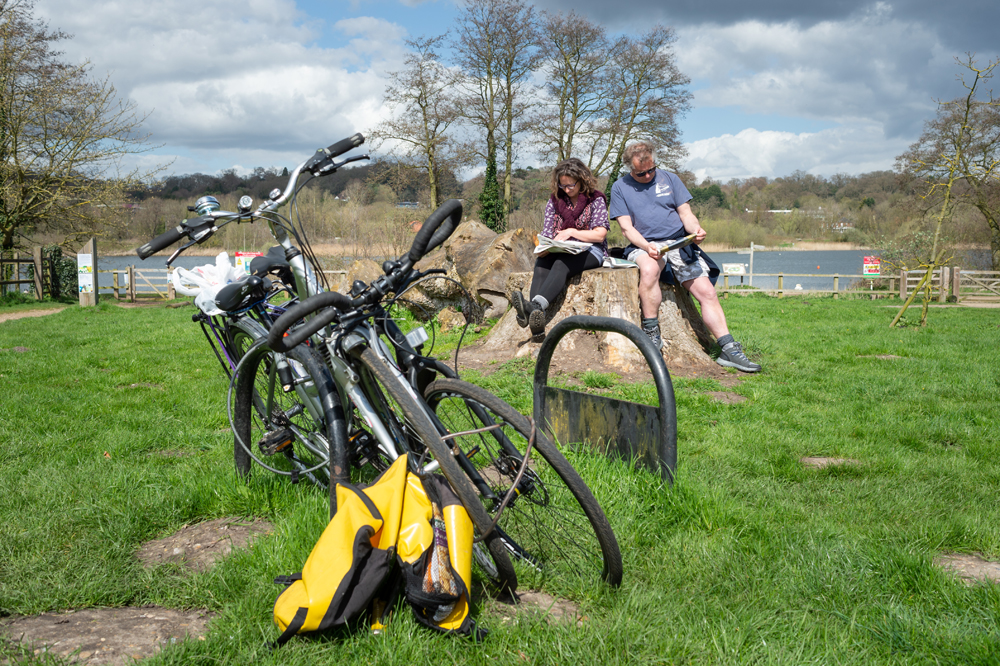
The Integrated Access Strategy (PDF), which was first produced in 2019 and then updated in 2023, aims to address the issue of maintaining and improving access routes, including over land and between land and water, and their connections to key visitor facilities and sustainable transport links.
The Broads Authority is continuing to work with partners and local communities towards the objectives of this strategy, seeking to make the best use of shared knowledge and resources. The strategy will be delivered through a three-year action plan with detailed annual action plans of priority projects being updated via the Broads Local Access Forum and the Navigation Committee.
The 2023 document updates the previous 2019 Integrated Access Strategy, incorporating for the first time the Authority’s strategic approach to managing its network of 24-hour moorings and demasting locations. By its nature, the document is focused on strategic aims to provide a broad range of access benefits to all Broads users across land and water. Moorings provide one of the key means by which true integration of land and water access can be facilitated.
Rights of way
Under the 2000 Countryside and Rights of Way Act walkers can enjoy mapped areas of previously off limits common land, heath, downland, moor and mountain without having to stick to paths.
About 150 hectares of this land is in the Broads, covering 14 distinct areas including Herringfleet Hills near Somerleyton, part of Outney Common in Bungay and East Ruston Allotments. Full details of these access rights can be found on the Natural England website.
In common with other national park authorities we have an access responsibility meaning we can place notices indicating boundaries, restrictions and exclusions and appoint wardens. We also decide applications from landowners and others with legal interests to exclude or restrict access.
The Local Access Forum has a key role in advising the Broads Authority on access functions and are consulted on applications.
Accessible attractions
Organisations and businesses in the Broads are working to help as many people as possible experience the special magic of the Broads, with wheelchair accessible boats available, visitor attractions with facilities to help people with visual or hearing impairments and boardwalks suitable for wheelchair users.
Norfolk Trails have also produced a series of booklets on 'access tested walks' that you can download on their access tested trails page.
Our visitor website has a dedicated page on accessible visits and attractions to help inspire your visit, or you can watch the video below to learn more.